Begin of page section: Contents:
Geospatial Technologies
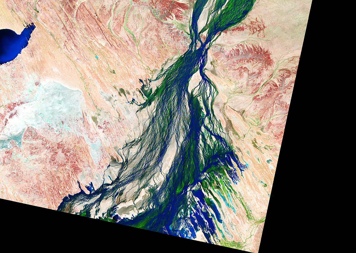
Geo(s) - the earth. Spatium - the space. Both are at the heart of the Master's degree programme in Geospatial Technologies. The earth is measured and analysed using the methods of geographical information processing and remote sensing (visual representation via satellites). This results in numerous practical applications that provide us with geographical and geodetic information in our daily lives. Examples from everyday life include Google Earth and modern navigation systems for road traffic. However, geospatial technologies can also be used to record changes in the environment or the spatial development of cities and conurbations. From this, forecasts for the future can be derived, which in turn will form the basis for future measures for the benefit of the environment and people.
The Master's in Geospatial Technologies is dedicated to the acquisition, analysis and presentation of spatial information. Students deepen their knowledge in areas such as geoinformatics, remote sensing, cartography, navigation and location-based services. They learn to record, model and analyze processes on the earth's surface, such as the development of cities, and view the earth's surface as a system of different subsystems.
The course also includes solving environmentally relevant problems, identifying environmental changes and deriving forecasts. It includes the acquisition of skills in data acquisition, management, processing and refinement as well as the development of methods, algorithms and software for the evaluation of geodata. Students collect, manage and process geodata for various applications and learn to think in a networked way by applying geospatial technologies to other branches of science. In addition, participation in current research projects is part of the program, which ensures a state-of-the-art education.
Link to the curriculum
Dean’s Office of the Faculty of Mathematics, Physics and Geodesy
TU GRAZ
Phone: +43 (0) 316 873-8110, 8111, 8112
Mail: geodaesie.mpug(at)tugraz.at
Address: Petersgasse 16/EG, 8010 Graz
Examination Office (Prüfungsreferat) Environmental, Regional and Educational Sciences Uni Graz
Phone: 43 (0) 316 380 - 8015
Mail: tina.hoetzl(at)uni-graz.at
Address: Merangasse 18/EG, 8010 Graz
End of this page section. Go to overview of page sections
End of this page section. Go to overview of page sections